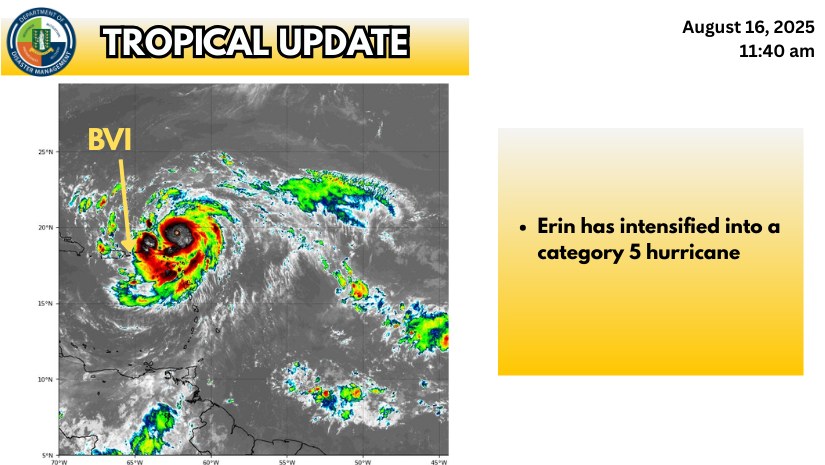

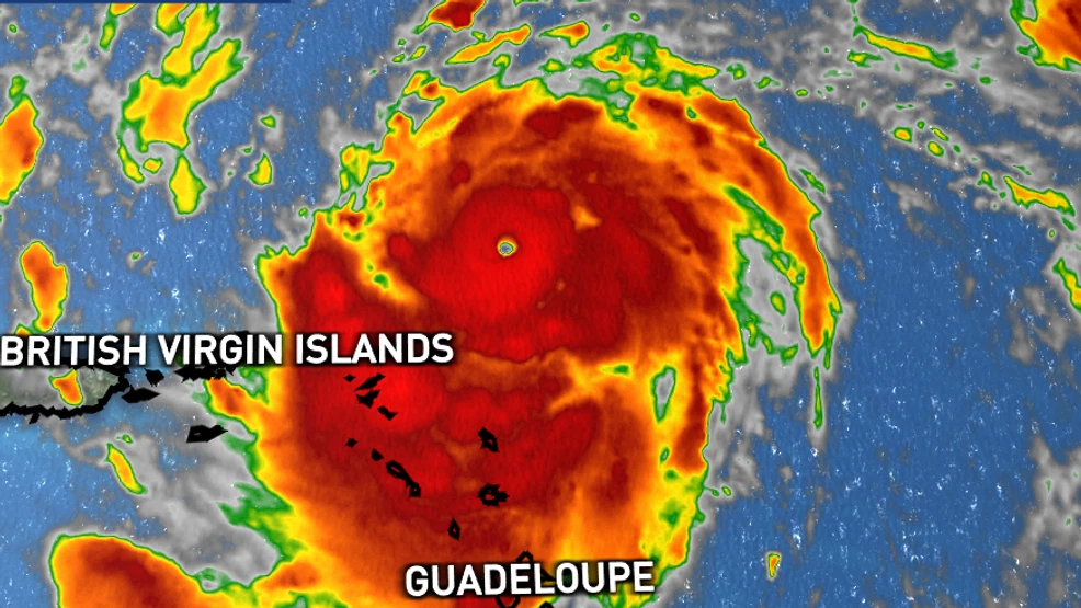
Hurricane Erin intensified into a Category 4 storm Saturday with maximum sustained winds of 145 miles per hour, placing Anegada and the northern Virgin Islands at heightened risk, according to the Department of Disaster Management.
As of Saturday morning, Erin was located about 160 miles northeast of Anegada and 190 miles northeast of Road Town, Tortola. The storm was moving west-northwest at 20 miles per hour.
Officials said Anegada is expected to experience the earliest and most severe conditions, including strong winds, dangerous surf and deteriorating weather throughout the day. Other islands in the territory were also urged to remain on alert as the storm progresses.
“Hazardous conditions are expected to arrive here first and possibly with greater intensity compared to the other islands,” the Department of Disaster Management said in a statement.
The department emphasized that it is not a meteorological office and relies on contracted professional sources for forecasts. It urged residents to use the information as a guide and not as legal or financial justification for decisions.